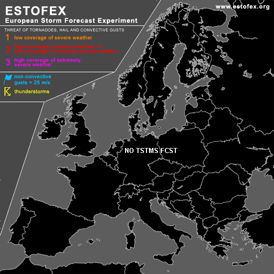

STORM FORECAST
VALID Sat 25 Mar 06:00 - Sun 26 Mar 06:00 2006 (UTC)
ISSUED: 24 Mar 21:26 (UTC)
FORECASTER: DAHL
SYNOPSIS
Amplifying Atlantic upper trough will progress eastwards and reach W Europe towards the end of the period. Low-level WAA east of this feature is promoting mid/upper ridging over western and central parts of Europe on Saturday. At low levels ... cold polar air will finally be removed from central Europe and advected NEWD ... allowing moist subtropical air to overspread W and central Europe. Weak but extensive upper low will persist over SE Europe. Some uncertainty exists with this forecast given presence of rather large areas of weak and shallow CAPE over W and central Europe as well as over the SE-central Mediterranean ... which may potentially support widespread TSTMS if instability happens to be slightly stronger than currently anticipated.
DISCUSSION
...central Europe...
Air mass over France on Friday has been been weakly unstable/neutrally stratified per available 12Z soundings ... and will be advected northeastwards into Germany on Saturday. Though weak signals are present in the models that at least shallow/weak CAPE will persist ... convective threat should be rather slim. However ... a few small convective cells may develop ... which may produce an isolated lightning strike of two ... especially if larger gaps in the clouds occur. But signals are too weak for a TSTM area.
...W Europe...
Though GFS suggests formation of a few showers over the E Atlantic ... again with an isolated CG or two ... that may advect onshore Ireland beneath small upper thermal trough ... bulk of CAPE should remain over the E Atlantic in subtropical air mass. However ... current indications are that this air mass will stay off-shore and thus not contribute to the convective threat over Europe.
...Ionian and Aegean Sea...
Weak/shallow instability should also exist over the Ionian and Aegean regions ... and may be released late in the period as small upper trough overspreads the region. Again ... signals in the CAPE fields are quite weak and noisy and threat seems to be too low to pinpoint one or more areas where the convective threat will be highest.
#