
STORM FORECAST
VALID Wed 15 Mar 06:00 - Thu 16 Mar 06:00 2006 (UTC)
ISSUED: 14 Mar 21:02 (UTC)
FORECASTER: GATZEN
SYNOPSIS
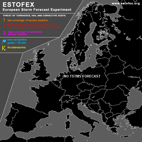
Large high present from northern Russia to Scandinavia ... and easterly flow advects cold and stable airmass into most of Europe. To the south of this high ... broad upper trough is present from North Sea to Alpine region and further to Balkans and Turkey ... spreading into France during the period. In the range of the upper trough ... cold and dry airmass has spread into central, and eastern Mediterranean ... while stable and warm airmass has entered Iberian Peninsula. During the period ... thunderstorms are not likely over all of Europe ... best chance may be over Aegean Sea ... where upper short-wave trough/vort-max may lead to some QG forcing .. and thunderstorms may develop in the range of neutral lapse rates and some low-level moisture. Weak vertical wind shear should be unfavorable for organized convection.
DISCUSSION
#