
STORM FORECAST
VALID Wed 08 Mar 06:00 - Thu 09 Mar 06:00 2006 (UTC)
ISSUED: 07 Mar 20:52 (UTC)
FORECASTER: GATZEN
SYNOPSIS
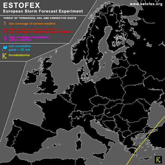
Intense and amplified long-wave trough is present over western Europe and eastern Mediterranean. While this trough migrates eastward ... cold airmass spreads into eastern Mediterranean ... especially at low levels. Over rather warm water surface ... models expect instability ... and a couple of shallow thunderstorms are expected. Vertical wind shear should be unfavorable for organized convection. However ... steep low-level lapse rates may be likely ... and chance for isolated tornadoes should be enhanced ... especially in the range of coasts that modify low-level wind field. To the west of the long-wave trough ... westerly jet evades into Europe ... and rather warm maritime airmass spreads eastward. This airmass is forecast to destabilize over western Europe as indicated by latest GFS model output. However ... it is not expected that significant thunderstorms will form in the warm airmass ATTM.
DISCUSSION
#