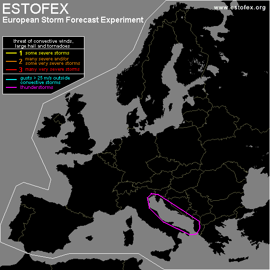

STORM FORECAST
VALID Thu 09 Feb 06:00 - Fri 10 Feb 06:00 2006 (UTC)
ISSUED: 09 Feb 05:35 (UTC)
FORECASTER: GATZEN
SYNOPSIS
Broad European trough over central Europe evades into northern Mediterranean ... and strong upper jet with embedded short-wave troughs will affect the region. To the north ... strong surface low weakens over Germany.
DISCUSSION
...Northern Mediterranean...
Latest soundings indicate that cold airmass is charcterized by steep lapse rates south of the Alps. Expect that this airmass will enter Adriatic Sea during the day ... and given that boundary layer moisture will be around 5 g/kg mixing ratio ... some CAPE may build. In the range of strong vort-maxima ... QG forcing is expected ... and shallow convection should develop ... and a few thunderstorms are not ruled out. Given strong DLS ... as well as enhanced LLS near the coasts ... an isolated severe event is not ruled out. Threat should be too low for a level one cathegory.
#