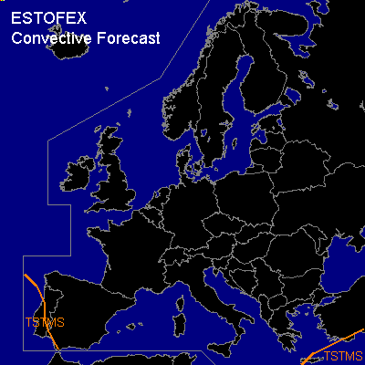

CONVECTIVE FORECAST
VALID Thu 02 Feb 06:00 - Fri 03 Feb 06:00 2006 (UTC)
ISSUED: 01 Feb 22:21 (UTC)
FORECASTER: GATZEN
Thunderstorms are forecast across western Iberian Peninsula and southern Greece, Turkey
SYNOPSIS
While most of Europe is blocked by deep arctic airmass over the eastern parts and associated high over the western parts ... polar troughs/cut-offs travel eastward over southern Mediterranean. On Wednesday ... old polar trough migrates eastward over eastern Mediterranean, while a new cut-off builds W of Iberian Peninsula and should reach Portugal at the end of the period. Both troughs are filled with maritime airmass ... characterized by neutral lapse rates and rather rich low-level moisture. Given QG forcing and low-level forcing in the range of weak frontal boundaries ... some thunderstorms are forecast. As vertical wind shear should be quite weak ... severe thunderstorms are not expected ATTM.
DISCUSSION
#