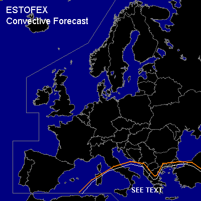

CONVECTIVE FORECAST
VALID Thu 05 Jan 06:00 - Fri 06 Jan 06:00 2006 (UTC)
ISSUED: 04 Jan 21:43 (UTC)
FORECASTER: GATZEN
Thunderstorms are forecast across Mediterranean
SYNOPSIS
Large-scale situation has not changed since Wednesday ... and broad upper trough is present over Mediterranean ... where rather cold airmass characterized by steep low-level lapse rates is present. However ... boundary-layer moisture has decreased significantly as indicated by latest soundings except for Brindisi. As a consequence ... threat for severe weather should be lower as on Wednesday. Chance for waterspouts should be slightly enhanced over regions with rich low-level moisture. To the east ... frontal boundary is present over Aegean Sea. Steep lapse rates indicated by latest soundings create weak CAPE ... while rather high CIN is also present due to poor low-level moisture. On Thursday ... short-wave trough propagates northward over Aegean Sea and Turkey ... providing strong QG forcing. Current thinking is that lack of low-level instability will inhibit organized convection over most places. Given strong DLS up to 30 m/s ... as well as enhanced low-level vertical wind shear ... thunderstorms that root to the boundary layer should be able to organize ... and multicells/mesocyclones are not ruled out ... capable of producing severe wind gusts and isolated large hail. However ... given poor low-level moisture ... threat seems to be too low for a cathegorical risk ATTM.
DISCUSSION
#