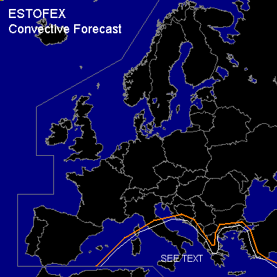

CONVECTIVE FORECAST
VALID Wed 04 Jan 06:00 - Thu 05 Jan 06:00 2006 (UTC)
ISSUED: 03 Jan 19:27 (UTC)
FORECASTER: GATZEN
Thunderstorms are forecast across Mediterranean
SYNOPSIS
To the south of high pressure from British Isles to central Scandinavia ... broad cut-off low remains quasistationary over central Mediterranean. In the range of this trough ... latest soundings indicate moist-unstable low-level lapse rates and neutral lapse rates aloft ... yielding CAPE up to 500 J/kg (Brindisi). Another round of showers and thunderstorms is forecast during the period. In the range of the cut-off low ... weak vertical wind shear is present ... and given weak CIN/low-level CAPE ... chance for waterspouts should be enhanced. To the east ... frontal boundary/ cold front slowly propagates eastward reaching Greece during the period ... providing low-level convergence. Affected airmass is also characterized by steep low-level lapse rates and weak CAPE ... and showers and thunderstorms should form. Relatively strong low-level vertical wind shear is expected just east of the cold front ... and a few thunderstorms may organize given enhanced helicity. Although a few mesocyclones are expected ... threat for severe events should be marginal given weak CAPE and QG forcing. Severe wind gusts and isolated hail should pose the most significant threat.
DISCUSSION
#