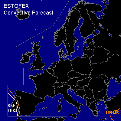

CONVECTIVE FORECAST
VALID Sun 20 Nov 06:00 - Mon 21 Nov 06:00 2005 (UTC)
ISSUED: 19 Nov 19:16 (UTC)
FORECASTER: DAHL
SYNOPSIS
European upper long-wave trough is progged to evolve into a cut-off low late in the period ... becoming centered over Romania by Monday 00Z. SFC low at its E side ... and central European SFC high in its wake ... spreading farther SE ... will contribute to cool/stable conditions across most of Europe.
DISCUSSION
...SRN Portugal...
Best chance for a few TSTMS seems to exist over SRN Portugal in association with WAA regime E of rather extensive upper low parked off the Iberian W coast over the Atlantic. However ... thinking is that bulk of activity will stay offshore. Low-level wind fields are expected to be quite vigorous ... and slim chances of an isolated mesocyclone or two exist if an updraft roots down into the BL. Chances should be quite low however and a SLGT is not necessary.
#