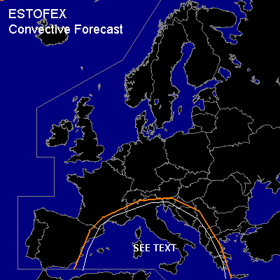

CONVECTIVE FORECAST
VALID Thu 06 Oct 06:00 - Fri 07 Oct 06:00 2005 (UTC)
ISSUED: 05 Oct 18:46 (UTC)
FORECASTER: GATZEN
SYNOPSIS
High over low pattern remains over Europe ... with a ridge from western Iberian Peninsula to Baltic Sea and a cut-off low over northern Mediterranean. At lower levels ... a cold front has crossed central Mediterranean ... and rather cool airmass has spread into western and central Mediterranean. Rather moist low-level airmass and quite steep low-level lapse rates have developed over the warm water surface ... and showers and thunderstorms are expected. Due to weak vertical wind shear, low LCL heights and low-level CAPE ... chance for waterspouts should be enhanced ... and a couple of events is forecast. At the periphery of the cut-off low ... DLS will be enhanced over southern and extremely northern Mediterranean ... and one or two organized convective cells are not ruled out, capalbe of producing large hail and severe wind gusts. Allover threat is forecast to be low.
DISCUSSION
#