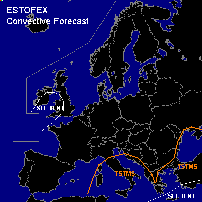

CONVECTIVE FORECAST
VALID Thu 22 Sep 06:00 - Fri 23 Sep 06:00 2005 (UTC)
ISSUED: 21 Sep 17:20 (UTC)
FORECASTER: GATZEN
SYNOPSIS
Broad European high remains from Iberian Peninsula to Russia. Strong SWerly flow is present at its northern flank, and a well-developed frontal boundary is expected to affect northwestern, and northern Europe. However ... associated maritime airmass is forecast to be rather stable. Best chances for isolated lightning seem to exist over British Isles late in the period, where strong vertical wind shear makes tornadoes and severe wind gusts more likely. Overall threat is expected to be low, though. Over Mediterranean and Black Sea region ... upper low is present ... and quite unstable airmass should lead to showers and thunderstorms. Vertical wind shear is forecast to be weak ... increasing to the southeast. Waterspouts should be the most significant severe threat. Best chances for isolated mesocyclones seem to exist along the Turkish coast ... where DLS is relatively high. Large hail, severe wind gusts and a tornado are not ruled out, but threat seems to be too low for a SLGT ATTM.
DISCUSSION
#