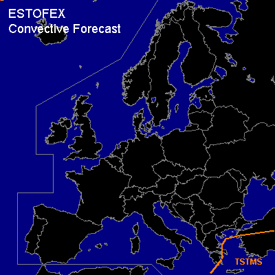

CONVECTIVE FORECAST
VALID 06Z FRI 11/03 - 06Z SAT 12/03 2005
ISSUED: 10/03 20:06Z
FORECASTER: GATZEN
General thunderstorms are forecast across eastern Mediterranean
SYNOPSIS
Expanded long-wave trough dominates Europe east of Atlantic ridge, and mostly stable cold airmass is present. From Iceland .. another trough moves southeastward into northern central Europe during the period. Rather strong cyclogenesis is expected at the southern edge of this upper trough. Associated warm sector maritime airmass may destabilize due to forcing along the cold front ... and a few thunderstorms are possible over southern Scandinavia, and southern Baltic Sea region. Although vertical wind shear is quite strong ... organized thunderstorms are not forecast as instability will be marginal. Over extremely eastern Mediterranean ... very cold airmass is expected in the weak of upper trough/associated surface cold front ... that may destabilize over rather warm sea surface of Aegean Sea. However ... weak QG forcing and vertical wind shear are forecast by latest model output ... and chance for organized convection seems to be low.
DISCUSSION
#