CONVECTIVE FORECAST
VALID 06Z WED 02/02 - 06Z THU 03/02 2005
ISSUED: 01/02 23:44Z
FORECASTER: GROENEMEIJER
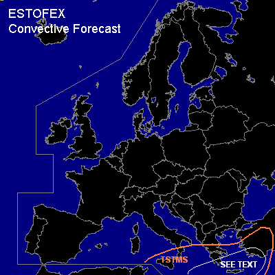
General thunderstorms are forecast across parts of southern Italy, the Ionean Sea, southern Greece, the southern Aegean Sea and the eastern Mediterranean Sea and parts of western Turkey.
SYNOPSIS
Wednesday at 06 UTC... a high pressure area is located to the southwest of Ireland, located within a amplified longwave ridge. A longwave trough is located along a line approximately from Finland to the Adriatic Sea. A northerly jet is expected over central Europe. A well-defined shortwave is expected near a line from southern Serbia to near Napoli to northern Tunisia and move southeastward reaching a line from the F.Y.R. of Macedonia to Crete on Thursday morning.
DISCUSSION
...area labelled "see text"...
The area of rising motions ahead of the aformentioned trough is expected to be colocated with a surface cold front moving through the area during the forecast period. Numerical models suggest that a 20 m/s low-level jet may develop ahead of the front, so that low-level shear may become significant. Deep-layer shear will however be rather limited due to low mid-tropospheric wind speeds ahead of the front. A few 100's of J/kg CAPE are forecast to be available there. Severe storm threat should be rather low as a result of the meager deep-layer shear, but a few isolated wind events should be possible with storms forming along or just ahead of the front. A tornado can not be ruled out either. Nevertheless, the coverage of any severe events will likely be low or very low, so that a risk category is not required.
#