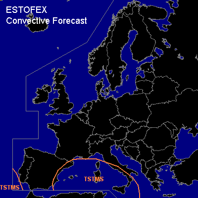

CONVECTIVE FORECAST
VALID 06Z MON 13/12 - 06Z TUE 14/12 2004
ISSUED: 12/12 23:31Z
FORECASTER: GROENEMEIJER
General thunderstorms are forecast across extreme southwestern Portugal, eastern Spain, the western Mediterranean Sea, and western Italy.
SYNOPSIS
Monday at 06Z... a ridge is present over central Europe. On its southern flank, a stagnant slightly unstable air mass resides over the western Mediterranean. In this air mass, scattered thunderstorms occur over sea and in coastal zones. Given low CAPE and shear, chances of severe should be low, although waterspout or two cannot be ruled out. A closed low to the SW of Portugal advectes high theta-e air northward. Some instability may reach southwestern Portugal and a few storms are possible there. Low CAPE and moderate shear at best suggest that severe storms are not likely.
DISCUSSION
#