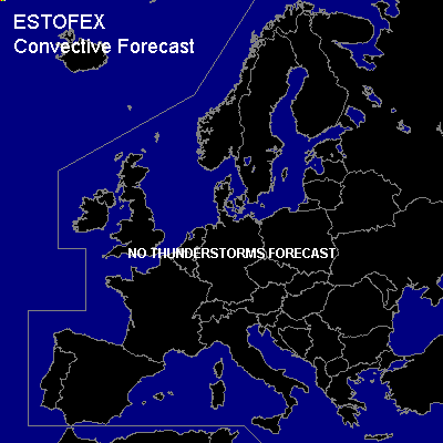

CONVECTIVE FORECAST
VALID 06Z FRI 26/11 - 06Z SAT 27/11 2004
ISSUED: 25/11 15:55Z
FORECASTER: GATZEN
There are no thunderstorms forecast.
SYNOPSIS
To the west of low geopotential over extremely eastern Europe ... a strong upper jet is present from central Scandinavia to Belarus and further to eastern Mediterranean. Cold and rather stable airmass will dominate in the range of the trough. Over western Europe ... relatively weak upper winds will remain during the forecast period.
DISCUSSION
...Eastern Mediterranean...
Showers and isolated thunderstorms may develop over the eastern Mediterranean, where cold airmass may destabilize over the warm water surface. CAA and DAVA are forecast and chance for thunderstorms will be quite low.
...Western Europe...
A short-wave trough is expected to move into western Europe reaching southern Scandinavia, central Germany and western Mediterranean on Saturday morning. Some DCVA should lead to UVM ... and maritime airmass may destabilize over the North Sea and Bay of Biscay region, Benelux and northwestern Germany. Allover threat of isolated thunderstorms will remain low as instability is expected to remain weak.
...Western Mediterranean ...
Over western Mediterranean ... some instability is expected during Friday ... and showers and isolated thunderstorms are not ruled out as upper short-wave troughs reaches the region.
#