CONVECTIVE FORECAST
VALID 06Z TUE 11/05 - 06Z WED 12/05 2004
ISSUED: 10/05 23:09Z
FORECASTER: HAKLANDER
General thunderstorms are forecast across the S'rn UK, large parts of Central and E'rn Europe, and the SW'rn Mediterranean.
SYNOPSIS
ULL across S'rn Spain should migrate E'ward - just north of the Algerian coast - during the forecast period. In between a quasi-stationary, positively tilted upper ridge across the Atlantic and a cut-off low across the NE'rn Black Sea, a thermal trough at midlevels moves southward from N'rn France, Central Germany and Belarus at TUE/06Z to S'rn France, S'rn Germany and NW'rn Ukraine at WED/06Z. An associated shortwave mid-level trough migrates S'wd across E'rn Germany and Poland.
DISCUSSION
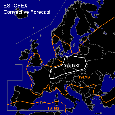
...Central Europe...
Monday's 12Z soundings indicated the presence of an area with about 800 J/kg MLCAPE from E'rn Denmark to E'rn Germany. Since no very large modification of the thermodynamic setup is expected, about 1000 J/kg MLCAPE should again be available late Tuesday afternoon, especially across Poland and the Czech Republic, which is confirmed quantitatively by GFS/12Z. BOLAM/00Z calculates 500-750 J/kg MLCAPE for Tuesday afternoon, but (also) underestimated Monday's MLCAPE at 12Z by about 600 J/kg. With about 10 m/s 0-6 km shear, multicells seem the most probable mode. In the lowest 1.5 km, veering winds with height and about 9-11 m/s shear were locally observed across the area with maximum CAPE (Copenhagen, Greifswald) on Monday. It is therefore not ruled out that a few deviantly moving storms will ingest enough SREH to produce a mesocyclone, with that amount of low-level shear. Given moderate CAPE, WBZ heights slightly below 2 km AGL, and lowest 30 hPa mean LCL's as low as 500 m AGL, large hail, severe wind gusts and even a weak tornado are a possibility. Considering the weak deep-layer shear, the probability of strongly deviant storm motion is quite low. We refrain from issuing a SLGT, because we expect severe convective events to be brief and very local.
...Western Mediterranean...
Along the occluding front of the aforementioned low, a few hundred J/kg CAPE is forecast. Some embedded, probably elevated thunderstorms are expected within the frontal precip zone. To the S and SE of the Balearic Islands, deep layer shear along the cold front will be enhanced, as well as SREH. Some elevated pre-frontal thunderstorms might advected into the forecast area on Tuesday evening SW of Sicily, but considering only marginal CAPE and the likely elevated nature of the storms, no severe convective events are expected.
#