CONVECTIVE FORECAST
VALID 09Z FRI 19/03 - 06Z SAT 20/03 2004
ISSUED: 19/03 08:54Z
FORECASTER: VAN DER VELDE
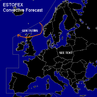
General thunderstorms are forecast across Nrn Scotland & Nrn North Sea
SYNOPSIS
Yesterday's wave that was indeed less convective than GFS model indicated is situated over Poland today. A deepening sfc low (to <985 hPa) swings over the British Isles today towards Srn Norway/Sweden, with associated strong pressure gradients, from which Srn UK, The Netherlands, and especially Denmark will see strong winds. A warm front from the follow-up depression will reach Ireland and the UK by the end of the forecast period.
DISCUSSION
...Poland, Czech Rep, Slovakia, Wrn Belarus, Wrn Ukraine...
Athough GFS is forecasting another round of positive CAPEs with the wave, the previous day has proven that only very little thunderous activity took place over Germany. As was discussed, the forecast CAPEs were not likely to be realized due to very dry lower levels. Today is expected to be no different, since 00Z soundings in the area are very dry. However, there may be a spot along the cold front where lift and marginal (elevated) CAPE could result in some sparse thunder.
Over Romania, capped CAPE is indicated by GFS, but since LFCs are over 2500 m, convection seems not likely, except perhaps sparse elevated activity.
...at the end of the forecast period...
care should be taken with respect to convective potential along the warm front/warm sector over Ireland. GFS 00Z/previous 12Z indicated some CAPE, while shear conditions are high-end with ample SREH as well, indicating potential for rotating storms and severe weather. This possible threat will continue into Saturday.
#