CONVECTIVE FORECAST
VALID 06Z TUE 02/03 - 06Z WED 03/03 2004
ISSUED: 01/03 21:36Z
FORECASTER: HAKLANDER
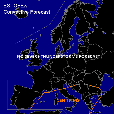
General thunderstorms are forecast across the WRN and central Mediterranean, central and SRN Italy, the Tyrrhenean, Adriatic and Ionean Seas, large parts of the Balkan.
SYNOPSIS
Once again we find a blocked flow across most of Europe, this time with an "inverted S shaped" wave pattern. The associated ridge extends from the Azores across the British Isles towards the Norwegian Sea, while the trough axis is situated from the northern Balkan across the Adriatic Sea and Sardinia toward the Algerian coast. During the FCST period, temperatures at mid-levels should rise by 5-10K near the upper trough (T500 at MON/12Z was -38.5°C at Palma de Mallorca).
DISCUSSION
...Western Mediterranean...
At MON/12Z, MLCAPE50 below the upper trough's axis only reached 100-250 J/kg, due to relatively dry air at low levels and despite the extremely cold air at mid-levels. Owing to the increase in mid-level temperatures, CAPE is lost and thunderstorm activity should diminish in the second half of the FCST period. As typically observed within wintertime slow upper troughs across Europe, the area of maximum CAPE coincides with minimum wind shear, keeping severe weather threat low.
...Sicily, Ionean Sea, SRN Balkan...
South of the main upper trough, deep layer 0-6 km shear should reach 25-30 m/s. However, with MUCAPE generally below 200 J/kg, equilibrium levels near or below 500 hPa, and only weak shear in the lowest 3 km, thunderstorms are not expected to become severe.
#