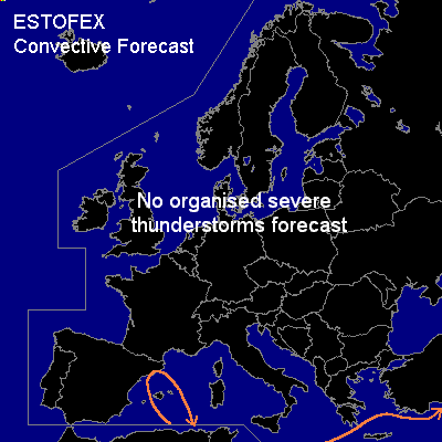

CONVECTIVE FORECAST
VALID 06Z MON 16/02 - 06Z TUE 17/02 2004
ISSUED: 15/02 23:29Z
FORECASTER: GROENEMEIJER
General thunderstorms are forecast across parts of the Western Mediterranean and of the eastern Mediterranean.
SYNOPSIS
Monday at 06Z... A ridge is located from the southwestern British Isles toward southern Scandinavia.
A small but quite intense mid/upper tropospheric low pressure system / vorticity maximum is located over western France moving southsoutheastward, and reaching northeastern Spain in the afternoon and continuing its southeastward motion. DCVA related rising motion ahead of the system will probably cause enough destabilisation of the air-mass to allow for some thunderstorms over the western Mediterranean Sea from Monday 15Z onward.
Downstream... an E-W oriented longwave trough is located near a line from the Black Sea to the Adriatic. South of this trough a moderate westerly flow is present. The air mass over this area is expected to stay slightly unstable locally that will likely result in the formation of a few thunderstorms.
In both general thunder areas the instability is forecast to be small and wind shear low to moderate, so that presently no severe thunderstorm activity is anticipated.
DISCUSSION
#