CONVECTIVE FORECAST
VALID 06Z MON 09/02 - 06Z TUE 10/02 2004
ISSUED: 09/02 01:07Z
FORECASTER: GROENEMEIJER
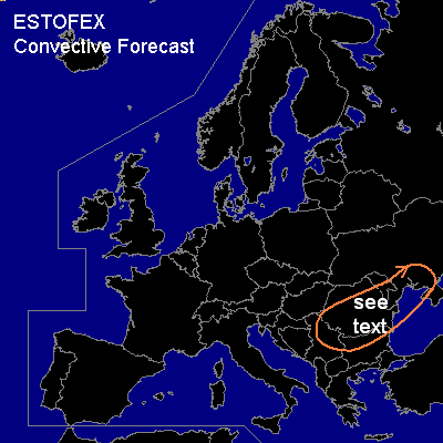
General thunderstorms are forecast across central and northeastern Balkans, southwestern Ukraine
SYNOPSIS
Monday at 06 Z... a trough is located from near the Baltic States to the northern Balkans, while a ridge is building over Western Europe. In between, a slightly unstable polar air-mass is flowing southeastward behind a cold front over the Balkan region.
DISCUSSION
...central and northeastern Balkans, southwestern Ukraine...
At 06 Z... the cold front is expected to be situated from central Italy to eastern Romania to the upper Dnjepr river Valley
and is expected from the northeastern Black sea to western Anatolia to southern Greece at 06 Z on Tuesday.
Several shortwave troughs embedded in the mid/upper flow are forecast to move rapidly eastward over the region.
Related areas of rising motion ahead of these are expected to affect the area near and just ahead of the frontal zone,
where a 100-200 J/kg MLCAPE could form in places.
A shortwave expected over the Adriatic Sea at the beginning of the forecast period will likely trigger a few thunderstorms
among non-thundering linear convection, moving from eastern Serbia and Montenegro eastward during the morning hours into
southern/central Romania and northern Bulgaria and over the Black Sea in the afternoon and evening.
Fairly strong low level shear and strong deep-layer shear could help the convection to organize into a squall-line,
possibly with embedded bowing segments. If this occurs, convective gusts could approach the severe limit of 50 knots.
However given that instability will likely be low and low level shear is not extremely high a categorical risk seems to be
needed for this area at the moment. During the evening hours, southeastern Moldova and the southwestern Ukraine could
be affected as well.
#