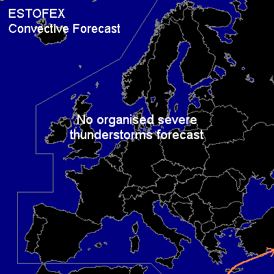

CONVECTIVE FORECAST
VALID 06Z WED 04/02 - 06Z THU 05/02 2004
ISSUED: 03/02 22:46Z
FORECASTER: GROENEMEIJER
General thunderstorms are forecast across the southeastern Mediterranean Sea, including parts of Crete and southern Turkey.
SYNOPSIS
Wednesday at 06Z...a longwave ridge is situated over western Europe. On its northern flank a strong westerly flow of neutral to slightly unstable air is present. In this flow various larger and smaller vorticity maxima are moving eastward from the Atlantic Ocean into Scandinavia. It is not ruled out that some showers in this air mass produce a few lightning strikes.
Another shortwave trough associated with a wave in the polar front is located to the southwest of Ireland and is expected to affect the northwestern British Isles from late Monday morning onward. Some lightning is possible that will mostly remain off-shore.
Downstream...a deep trough is located from the Volga valley to the eastern Mediterranean Sea, where a separate mid/upper low pressure centre is expected to cut-off. Scattered thunderstorms are expected in this region as a few 100s of J/kg MLCAPE will likely form in this area. Given that the instability is low and the deep-layer wind shear moderate at best, the threat of any severe weather with these storms will be small. However, given that winds at the top of the boundary layer are expected to be in the 30-40 kt range some sub-severe gusty winds are expected with the thunderstorms.
DISCUSSION
#