CONVECTIVE FORECAST
VALID 06Z TUE 03/02 - 06Z WED 04/02 2004
ISSUED: 02/02 19:17Z
FORECASTER: HAKLANDER
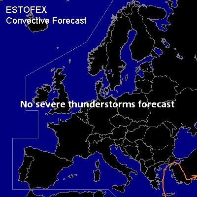
General thunderstorms are forecast across the Aegean and ERN Mediterranean Sea, Crete and WRN Turkey.
SYNOPSIS
A strong, quite zonally oriented upper ridge is forecast across the Iberian Peninsula and France, while a sharpening upper trough across the Aegean Sea moves into Turkey.
Ahead of this intensifying trough, increased DCVA through a potentially unstable layer (decreasing theta-e with height) should yield enough destabilization to create a few hundreds of CAPE in the lowest layers. Especially later on in the forecast period, a few thunderstorms are likely to form across this low CAPE area. Kinematic setup should be too weak for severe weather.
Elsewhere in Europe, thunderstorm probability is small, except for the Norwegian SW coast, where enhanced upward motion owing to orography might also yield enough destabilization for one or two thundery showers. However, the chance for thunderstorms occurring there is considered too small for a GEN TSTMS.
DISCUSSION
#