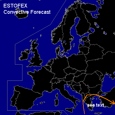

CONVECTIVE FORECAST
VALID 10Z FRI 30/01 - 06Z SAT 31/01 2004
ISSUED: 30/01 10:14Z
FORECASTER: GATZEN
General thunderstorms are forecast across Northeastern Mediterranean
SYNOPSIS
Along the southern edge of European expanded long-wave trough ... rather strong vort-max has reached the Mediterranean, where intense cyclogenesis was observed. Organized convection did develop along the cold front of deepening surface pressure system. Thursday's soundings did show low-level steep lapse rates and relatively strong low-level shear, and severe thunderstorms may have formed what was missed by yesterday's outlook. Today ... the surface pressure system weakens and propagates eastward into north-eastern Mediterranean. Over western Europe ... zonal flow pattern expands eastward.
DISCUSSION
...Northeastern Mediterranean...
Quite strong vort-max will cross Greece and the Agean Sea today. Associated occlusion will reach Turkey during the forecast period. In the range of this occlusion ... latest model output suggests CAPE in the order of some 100s J/kg. However ... soundings do not indicate rich low-level moisture attm, and surface dew points are below 7 C. For this reason, potential of severe convection should be limited. Along the front ... thunderstorms possibly initiate elevated and become surface-based later on. As low-level shear is expected to be weak ... organized convection is not likely. Due to rather large low-level dewpoint depressions, there is an enhanced potential for severe wind gusts though. Along the southern portions of the front ... strong convection is not forecast due to strong cold air advection.
#