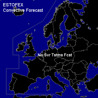

CONVECTIVE FORECAST
VALID 06Z FRI 23/01 - 06Z SAT 24/01 2004
ISSUED: 22/01 18:24Z
FORECASTER: GATZEN
There are no thunderstorms forecast.
SYNOPSIS
Impressive eastern European trough weakens. Associated intense surface low pressure system will move from the Agean Sea to the Black Sea. West of this low ... cold and dry airmass has entered the eastern Mediterranean. Only a few thunderstorms may form over the relatively warm sea and a gen thunder is not warrant attm. Over the western Mediterranean ... short-wave trough moves southeastward along the edge of the eastern European long-wave trough. Synoptic uvm is forecast in association with this system. However ... taday's soundings do not indicate sufficient low-level moisture, and CAPE should be marginal. Showers may form and some of them may produce thunder. Over northwestern Europe ... northern Atlantic trough will reach GB. Strong vort-max ahead of approaching jet streak will affect northern GB. Field of enhanced cumulus is visible on latest satellite images. However ... this convection should only reach the extremely northwestern forecast region. Thunderstorms should be possible but very isolated.
DISCUSSION
#