
CONVECTIVE FORECAST
VALID 19Z WED 21/01 - 06Z THU 22/01 2004
ISSUED: 21/01 19:11Z
FORECASTER: GROENEMEIJER
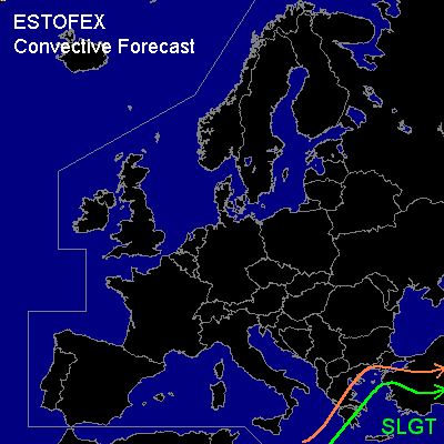
There is a slight risk of severe thunderstorms forecast across extreme southeastern Greek mainland, Crete, the southeastern Aegean Sea, western and southwestern Turkey and parts of the southeastern Mediterranean Sea.
General thunderstorms are forecast across the slight risk area and the remainder of the Aegean Sea, a larger part of the Greek mainland and a larger part of Turkey.
SYNOPSIS
At 18Z a trough is analyzed from Belarus to Sicily. A vorticity maximum is located north of central Libya. As the trough digs and its axis moves eastward, the vort. max. lifts northeastward. It is expected to be located south of western Turkey at 06Z.
DISCUSSION
...Silght risk area...
Ahead of the approaching vort. max., differential temperature advection is expected to destabilise the air mass, so that a few 100's of J/kg CAPE will form. Strong vertical motions ahead of the system have already initiated thunderstorms along a developing cold-front just ahead of the trough and along a line ahead of the cold front.
The storms will likely affect Crete from 21Z onward. After midnight Z time, the system should approach the Turkish west coast. The low-level wind field is expected to intensify strongly (to over 25 m/s @ 850 hPa later this evening) and strong deep-layer wind shear (~ 20-30 kts 0-6 km) is forecast along with slightly veering low-level winds, so that rotating updrafts/ supercells are possible. Given the strongly forced nature of the convection, present thinking is that the convection will organise into linear modes/ squall-lines with some embedded supercells.
Strong, locally damaging gusts in excess of 25 m/s may occur as well as a few tornadoes. There will also be a small threat of large hail.
#