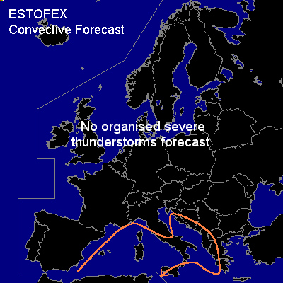

CONVECTIVE FORECAST
VALID 06Z MON 19/01 - 06Z TUE 20/01 2004
ISSUED: 19/01 00:28Z
FORECASTER: GROENEMEIJER
General thunderstorms are forecast across much of the central Mediterranean region.
SYNOPSIS
At 06Z... a southwest-northeast oriented mid/upper trough is positioned near are line from central Europe to the western Mediterranean. A closed low is developing over the western Mediterranean and expected to move southward.
Around the low, the troposphere is slightly unstable locally, which allows for the formation of scattered thunderstorms over the relatively warm sea waters. On the low's eastern flank, a weak to moderate southwesterly flow advects somewhat warmer air causing large scale rising motions. This will likely lead to larger areas of rain and thunder, especially where the rising motions are enhanced by a forced upstream flow component.
Since both latent instability and wind shear magnitude are expected to be low, no organised severe thunderstorms are forecast.
DISCUSSION
#