CONVECTIVE FORECAST
VALID 06Z FRI 16/01 - 06Z SAT 17/01 2004
ISSUED: 15/01 20:30Z
FORECASTER: GATZEN
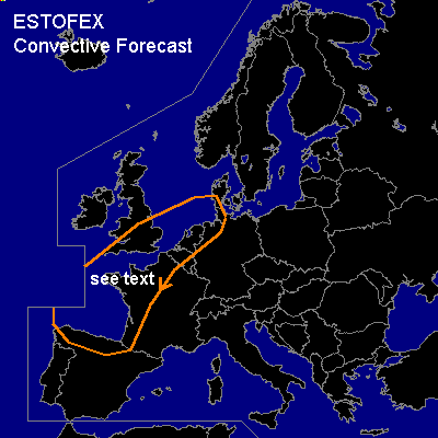
General thunderstorms are forecast across north-central Europe, the Biscaya
SYNOPSIS
Upper flow forms a long-wave trough over Europe. Short-wave troughs will move over eastern and north-central Europe. Strong jet streak over the Atlantik will propagate SSE-ward and should cross the Biscaya, where cyclogenesis is forecast. At lower levels ... cold airmass propagates southward over the western portions, as surface low will move eastward into northern Germany.
DISCUSSION
...Northwestern Central Europe
...
As the surface low moves eastward ... relatively warm airmass will reach southern GB, northern France, Benelux and northern Germany west of a cold front. Weak instability should be present, and showers may form as the upper trough crosses the region. Some showers may be thundery. As low-level wind field will be rather strong ... convection will likely induce strong wind gusts. Due to low instability and weak synoptic forcing ... organized convection is not forecast.
...Biscaya
...
Warm and moist airmass will be present over the Biscayan gulf and GFS model output suggests some CAPE. As the upper jet streak approaches ... showers and thunderstorms should form due to synoptic uvm along a cold front that moves eastward at the late in the period. Moderate low-level shear (20 kts 0-1km shear) will affect the convection. As instability should be rather low ... severe threat should be limited.
#