CONVECTIVE FORECAST
VALID 06Z WED 14/01 - 06Z THU 15/01 2004
ISSUED: 14/01 00:21Z
FORECASTER: GROENEMEIJER
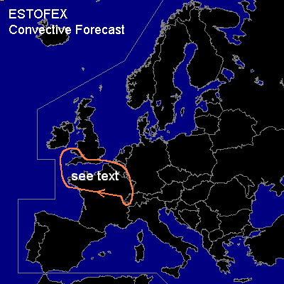
General thunderstorms are forecast across the southern British Isles, Belgium, northern and western France and extreme western and northwestern Switzerland.
SYNOPSIS
The strong westerly jet is still in place, though it is expected to start to meander more. Most important is a developing shortwave trough that is located south of Ireland at WED/06Z, over northern France at WED/18Z and southern Germany at THU/06Z. Quasi-geostrophic forcing for upward motion ahead of the trough will likely cause most of the showers presently associated with the system to consolidate into a larger area of precipitation as we've seen happening with similar systems over the last few days.
A point of attention is the strong - especially low-level -wind shear. As 850 hPa winds of 45-60 knots are forecast over the GEN TSTM area, storms could bring wind gusts exceeding the severe limit of 50 knots quite easily.
However, the storm coverage behind the front will probably be low as a large area of subsidence is indicated by numerical models. Most likely place where this could happen is near the back-bent occlusion of the system that is forecast to work its way southeastward over parts of Belgium and northern France on Wednesday evening. Bretagne seems to be another area with a slightly enhanced potential of convective development. An update to SLGT for particular area(s) may be issued tomorrow.
DISCUSSION
#