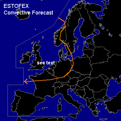

CONVECTIVE FORECAST
VALID 06Z TUE 13/01 - 06Z WED 14/01 2004
ISSUED: 12/01 17:46Z
FORECASTER: GATZEN
General thunderstorms are forecast across NWRN Europe, NRN France, Benelux, Germany
SYNOPSIS
Intense polar jet is pointing from the NERN Atlantic towards CTRL Europe. Embedded jet streak has reached Europe and will stretch into ERN Europe at the end of the forecast period. Several vort-maxima are forecast that will cross Europe during the next hours. At the surface ... strong cyclone will decay while crossing Poland. Upstream, a second intense surface low will cross Great Britain and the North Sea.
DISCUSSION
...NWRN Europe, NRN France, Benelux, Germany
...
Relatively unstable airmass situated over the North Sea and Great Britain that will be advected eastward W of the second surface low ... reaching NRN France, Benelux and parts of Germany on Tuesday. Vort-maxima that are embedded in the strong westerly flow should be the focus of convection. It is not clear how strong those vort-maxima will be ... latest model output (GFS) does not indicate strong UVM. ATTM, thunderstorms with gusty winds and small hail are forecast over NWRN Europe that should spread eastward during the forecast period ... reaching NRN Germany late in the day. Strong wind gusts will be the main threat in association with this convection. As strong low-level shear is forecast ... chance for mesocyclones will be enhanced ... with a small chance that brief tornadoes may form.
#