CONVECTIVE FORECAST
VALID 06Z MON 05/01 - 06Z MON 05/01 2004
ISSUED: 04/01 21:52Z
FORECASTER: GROENEMEIJER
General thunderstorms are forecast across Western and southern Turkey, the eastern Aegean Sea and parts of the eastern Mediterranean Sea and across western Scotland.
SYNOPSIS
At mid-levels a closed low over Poland is embedded within a southward digging trough. The closed low is expected over the central Balkans by 06Z on Tuesday. On the trough's western flank a quite strong northwesterly jet is present, which propagates southeastward. Upward vertical motion in its left exit region is expected to affect western Turkey and the eastern Aegean Sea from Monday afternoon. This may aid in the formation of a few thunderstorms in these areas.
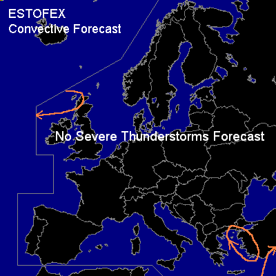
Over northwestern Europe and the northern Atlantic a zonal jet is present. A sharpening shortwave trough is expected to move over the British Isles at the end of the forecast period (Tuesday 06Z). Forcing for upward motion ahead of the Atlantic trough is expected to aid the formation of storms after Monday 00Z west of Scotland. A few storms will probably be thundery and affect Scotland overnight.
DISCUSSION
#