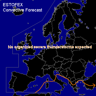

CONVECTIVE FORECAST
VALID 06Z FRI 02/01 - 06Z SAT 03/01 2004
ISSUED: 01/01 21:16Z
FORECASTER: GATZEN
General thunderstorms are forecast across the Mediterranean
SYNOPSIS
New vort-max has reached the Mediterranean at the western edge of the European long-wave trough. Tomorrow ... associated DCVA will lead to cyclogenesis west of Italy. CAA takes place SW of the developing surface low, while some WAA is expected E and N of it. Latest model output shows some UVM expanding into the western Mediterranean west of the surface low at the end of the forecast period. Affected airmass is characterized by low instability. Showers and a few thunderstorms are expected ... severe thunderstorms are not likely. However ... vertical wind shear will be relatively strong north and west of the surface low center ... and strong wind gusts should be possible. Over the eastern Mediterranean ... entering vort-max should lead to UVM later in the day and during the night. Instability should be marginal and severe thunderstorms are not expected.
DISCUSSION
#