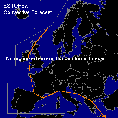

CONVECTIVE FORECAST
VALID 06Z TUE 09/12 - 06Z WED 10/12 2003
ISSUED: 08/12 19:31Z
FORECASTER: GATZEN
General thunderstorms are forecast across the Mediterranean, western Europe
SYNOPSIS
Starting from a short-wave trough west of the Iberian Peninsula, the upper flow regime is separated into two branches. The northern branch forms a ridge over Central Europe and a broad trough over eastern Europe, while the southern branch evades into the Mediterranean, where an embedded cut-off is present. During the forecast period ... western European trough is expected to cut off over the Iberian Peninsula and merge with the Mediterranean trough. Both features will began to rotate around their center of gravity leading to a northerly movement of the Mediterranean cut-off.
DISCUSSION
...Central Mediterranean
...
Cold and dry airmass has started to enter the Mediterranean trough. Underneath the trough ... thunderstorms should weaken due to a decrease of low-level moisture. During the forecast periode ... the relatively warm sea surface could lead to recovering of the low-level moisture, but thunderstorms should be rather isolated. As the upper trough starts to move northward ... warm airmass is expected to return. Today's soundings do not indicate much CAPE, and it should be possible that expected WAA will be stable. However ... model output suggests some 100s J/kg CAPE over south-central Mediterranean, and a jetstreak should reach the southern Mediterranean at the end of the forecast periode. Expected scenario is stratiform rain with embedded convective activity that should strenghten during the night. Due to the relatively cold boundary layer ... thunderstorms are not expected to become surface-based and should not involve large helicity values. Severe thunderstorms are not forecast.
#