CONVECTIVE FORECAST
VALID 06Z MON 17/11 - 06Z TUE 18/11 2003
ISSUED: 16/11 23:40Z
FORECASTER: GROENEMEIJER
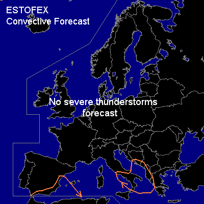
General thunderstorms are forecast across southeastern Spain and aprst of the southwestern mediterranean Sea as well as the southern Adriatic Sea, the extreme southwestern balkans and parts of southern Italy.
SYNOPSIS
A meandering westerly flow over is forecast over much of the central and northern latitudes of Europe, where the air mass will be mostly potentially stable. The only exception may be a shallow layer over warm sea water. Thunderstorm formation is not expected in these areas. A mid/upper low pressure system will likely be located over northwestern Algeria.
DISCUSSION
...Western Mediterranean...
Some low latent instabilty is expected on the northern flank of the mid/upper low. Low wind shear and marginal instability in this area will likely prevent most thunderstorms from becoming severe. A few waterspouts may occur in the area however, given the expected moist boundary layer and the resulting low LCLs.
...Southern Italy, Adriatic, southwestern Balkans....
Ahead of a cold front moving into the area from the northwest a few storms are expected to form over the Adriatic on Monday evening. These will possibly spread over the remainder of the general risk area overnight. Low to moderate wind shear and low CAPE are expected so that the storms are not expected to produce a significant threat of severe weather.
#