CONVECTIVE FORECAST
VALID 06Z TUE 11/11 - 06Z WED 12/11 2003
ISSUED: 10/11 19:23Z
FORECASTER: HAKLANDER
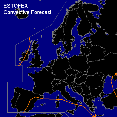
General thunderstorms are forecast across Western and southcentral parts of the Mediterranean, parts of Ireland and the Black Sea area.
SYNOPSIS
Mostly stable conditions over Europe due to large quasi-stationary blocking high centered near the Baltic States.
DISCUSSION
...Western and Southcentral Mediterranean...
Weak upper flow and fairly slack surface pressure distribution is expected to continue across the area. Monday's 12Z rawinsonde observations showed low CAPE (only Gibraltar >500 J/kg MLCAPE50). Diminishing MUCAPE over time will probably still suffice for some scattered thunderstorms. With this low CAPE, poor vertical wind shear conditions should keep storm activity rather unorganised. Severe weather is therefore considered unlikely.
...Ireland...
Polar air mass behind occluding cold front contains marginal CAPE near the surface. This air mass has yielded thunderstorm activity on Monday and its thermodynamic properties are not expected to change much over time. Thunderstorms across the FCST area aren't expected until late TUE or early WED.
#