CONVECTIVE FORECAST
VALID 09Z MON 20/10 - 06Z TUE 21/10 2003
ISSUED: 20/10 09:40Z
FORECASTER: GROENEMEIJER
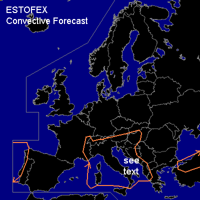
General thunderstorms are forecast across extreme western Iberia, the central Mediterranean region, the southern and western Alps and the northwestern Balkans as well as across northern Turkey.
SYNOPSIS
On the flanks of a large mid/upper area of low pressure over Scandinavia and northern Russia, a moderately strong west to westsouthwesterly flow is present over much of southern and eastern Europe. At 12Z... a weak trough is located over northwestern Italy that is expected to propagate eastward. Scattered storms are forecast ahead of this system. Anothern trough is located just west of the Iberian Peninsula. This trough has an WSW-ENE orientation and is expected to slowly move southeastward during the forcast period as it help in producing some thunderstorms primarily affecting the Atlantic coasts of Portugal, northern Spain and southwestern France.
DISCUSSION
...Italy, Adriatic region...
Ahead of the trough moving eastward over northern Italy and the northern Adriatic basin there will be only marinal instability available (on the order of 100 - 500 J/kg MLCAPE50 per GFS 00Z). This will bring down the severe threat of any storms that form ahead of this system greatly, even though wind shear is expected to be be quite strong and sufficient to sustain rotating updrafts. However, a few supercells or linearly organised storms are not ruled out, especially over the central Adriatic and possibly over central and southern Italy as well. A few strong wind gusts and some large hail may accompany these storms. The overall threat however seems too small to warrant a categorical risk.
#