CONVECTIVE FORECAST
VALID 06Z MON 13/10 - 06Z TUE 14/10 2003
ISSUED: 12/10 23:26Z
FORECASTER: HAVEN
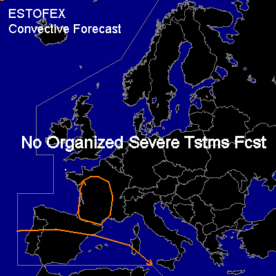
General thunderstorms are forecast across southern Iberian peninsula, western Mediterranean Sea and southern and central France
SYNOPSIS
Elongated upper ridge over western Europe will dominate the weather during the forecast period over large parts of the forecast area. A shortwave west of the Iberian peninsula continues east and is expected near Gibraltar around midnight.
DISCUSSION
...southern Iberian peninsula...
Upward vertical motion due to cyclonic vorticity advection ahead of the approaching shortwave and some daytime heating will destabalize the atmosphere in the course of the day, which will result in a few hundred J/kg of CAPE in the late afternoon and early evening. A few thunderstorms may occur over the southern half of Iberia, but main activity is expected further south over Morocco. Vertical windshear will be rather weak and together with the low instability this will result in weak updrafts and unorganized deep moist convection, so severe thunderstorms are not likely.
A few thunderstorms might be ongoing over the western Mediterranean due to a weak shortwave in an area of considerable instability. Avtivity is expected to dy out soon, as shortwave will enter an area where instability is far less.
Also some thundery activity could occur over France near a weak frontal system. Both instability and shear are too low to support severe storms.
#