CONVECTIVE FORECAST
VALID 06Z FRI 10/10 - 06Z SAT 11/10 2003
ISSUED: 09/10 22:56Z
FORECASTER: GROENEMEIJER
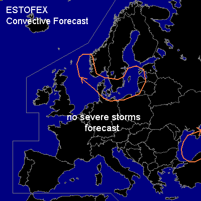
General thunderstorms are forecast across parts of southern Scandinavia, the western Baltic States and acroos the Black Sea and it ssurroundigns
SYNOPSIS
At 06Z, a highly amplified trough is located from eastern Finland to western Turkey. This system is expected to lift out of Black Sea area into Russia durng the forecast period. Ahead of this systems a few storms may deveop over or near the Black Sea. Over west-central Europe and southern Scandinavia a west to westnorthwesterly flow is present. A vort max, located over the North Sea at 06, associated with a baroclinic wave is moving eastward reaching the Baltic States and Belarus around 06Z on saturday morning. Some scattered storms may form over the relatively warm Baltic Sea and over the eastern North Sea both in association with the wave's frontal system and the air-mass behind the cold front. A few gusts may occur, but they will likely remain well below severe levels. #
DISCUSSION
#