CONVECTIVE FORECAST
VALID 06Z FRI 03/10 - 06Z SAT 04/10 2003
ISSUED: 02/10 16:29Z
FORECASTER: GATZEN
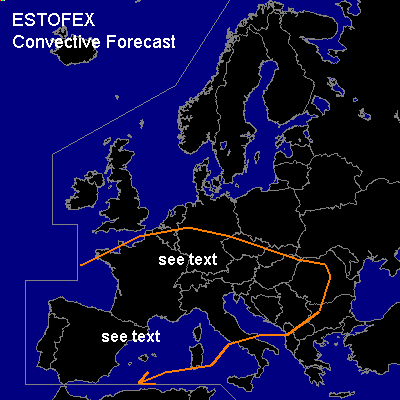
General thunderstorms are forecast across Western and western Central Europe
SYNOPSIS
Upper trough placed over southwestern Europe, and moderate southwesterly flow affects western Central Europe. At the end of the forecast periode ... intense upper polar trough will reach Central Europe.
DISCUSSION
...Southwestern and western Central Europe, Alpine region...
Soundings indicate convectively mixed airmass over the region. During the forecast periode ... relatively strong vort-max will move northeastward affecting eastern France, Central and southern Germany and the Alpine region. At the surface ... cold front will cross France and southern Germany. West of this cold front ... cold airmass should be convectively mixed. As the vort-max approaches ... models suggest CAPE in the order of some 100s J/kg, and thunderstorms should be possible along the cold front. Deep layer wind shear should be strong enough and thunderstorms should possibly organize. Hail up to 2 cm and strong wind gusts should be the main threat. Risk of severe thunderstorms seems to be too low to warrant a slight risk attm.
#