CONVECTIVE FORECAST
VALID 06Z WED 24/09 - 06Z THU 25/09 2003
ISSUED: 23/09 18:30Z
FORECASTER: GATZEN
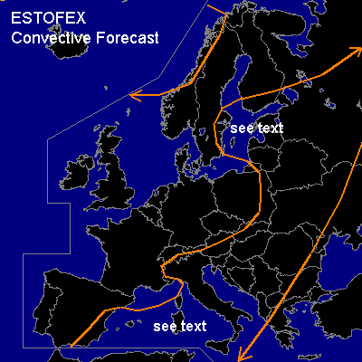
General thunderstorms are forecast across central and southern central Mediterranean
General thunderstorms are forecast across eastern Europe
General thunderstorms are forecast across northwestern Scandinavia
SYNOPSIS
Intense upper long wave trough situated over nothern and northern Central Europe. Ahead of this trough, a strong jet streak affects eastern Scandinavia. At lower levels ... warm and slightly unstable airmass has reached northwestern Russia east of an intense surface low over central Scandinavia. Cold air advection dominates western and Central Europe, where a new surface high will form. Over the Mediterranean ... weak upper trough will remain, as cold front affects the northwestern Mediterranean during the forecast periode.
DISCUSSION
...Western Mediterranean...
Cold airmass is spreading over France into northwestern Mediterranean. South of the Alps ... warm airmass is forecast to remain and should be replaced in the afternoon as cold air will reach this region from the east. Within the warm airmass ahead of the cold fronts ... soundings indicate relatively rich low level moisture and steep lapse rates especially over the southern Mediterranean, yielding CAPE values in the order of 500 J/kg (up to 1800 J/kg over Cagliari). During the forecast periode ... thunderstorms should form over the central and southern central Mediterranean. CAPE and deep layer shear should increase gradually to the south ... and some stronger cells should be capable to produce large hail and strong downdrafts with a chance of flash flooding. Within the shallow cold airmass ... deep convection is not forecast.
...Eastern Europe...
Along the cold front over eastern Europe ... thunderstorms may form during the day as warm airmass is expected to destabilize due to insolation. Along the southern segment of the front, CAPE should be rather limited as soundings indicate relatively dry boundary layer over southeastern Central Europe. To the north ... low level moisture, vertical wind shear and synoptical forcing should increase, and stronger cells will be more likely. Small hail and severe wind gusts are not ruled out attm. However ... as CAPE should be rather low, severe potential should be limited ... and a SLGT does not seem necessary attm. West of the cold front ... convectively mixed airmass is expected over the Baltic States ... and some storms may form. As vertical wind shear should be rather strong, storms will possibly organize. Shallow mesocyclones and bow shaped segments could form and should be able to produce small hail and severe wind gusts.
#