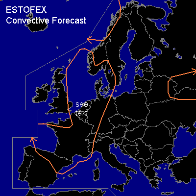
CONVECTIVE FORECAST
VALID 06Z MON 22/09 - 06Z TUE 23/09 2003
ISSUED: 21/09 23:20Z
FORECASTER: GROENEMEIJER
General thunderstorms are forecast across parts of western Norway and the Norwegian Sea and across the North Sea and its surroundings, much of west-central Continental Europe, eastern Belarus, the northern ukraine and a part of western Russia.
SYNOPSIS
An amplifying trough over the British Isles is absorbing an old upper low over the southern British Isles and moving eastward. Cold polar air is expected to invade northwesterb Europe as the trough and an associated frontal zone move southeastward during the forecast period. Downstream... a weak ridge is located over Scandinavia into Russia. A small but quite intense vort max is embedded in the flow over the ridge, wich is located over eastern Belarus at the beginning of the forecast period and moving eastward.
DISCUSSION
...Benelux, eastern France and western Germany...
Warm air is present over France, Benelux and Germany at the beginning of the forecast period. Around 06Z...a weak cold front is expected near a line from southeastern England southward over Bretagne and the French southwestern coast. This front will slowly be moving eastward. East of the front...the air-mass over central and eastern France and western Germany is expected to destabilise to yield near 500 J/kg of MLCAPE50 per GFS 18Z, which seems reasonable.
Some storms will likely form during the afternoon over eastern France, western Germany and the eastern Benelux.
A second, much stronger polar front is forecast near a line from Bergen to Edinburgh to Dublin at 06Z, moving southeastward. This front is forecast to overtake the previous front over the Benelux countries during the evening.
At 18Z .... low-level (0-1 km) shear will is expected to increase to around 20 kt over northeastern France and 30 kt over the northern Benelux, while deep-layer shear will be 40-50 kts there. Some potential for (mini) supercells therefore exists with storms associated with the northern part of the former front. However, it is not clear if storms will indeed form in this region. Also, the low amount of CAPE limits the threat of severe weather with any convective activity that does form.
Behind the first and ahead of the second polar front, the GFS model indicates that the atmosphere will be nearly neutral for saturated air. Strong forcing for rising motion associated with the polar front is expected to overspread the southern North Sea and the Benelux during the evening. Some linear convection along the front, possibly with some small bowing segments, may form. This seems particularly likely if the model underestimates low-level moisture and ...as a result... latent instability as it did today in Brest (LFRB) and Trappes (07145) at 12Z. Since 850 hPa are forecast to be near 50 knots ahead of the front, downdrafts resulting from this convection may then locally produce gusts around or in excess of 50 knots over The Netherlands and northwestern Germany if this scenario comes true. Some hail may also occur then. If no deep convection forms near the front, gusts will likely remain much lower.
Overall threat seems to be just a bit too conditional to warrant a slight risk at the moment, but an upgrade will be issued tomorrow if needed.
#