CONVECTIVE FORECAST
VALID 06Z MON 15/09 - 06Z TUE 16/09 2003
ISSUED: 14/09 20:57Z
FORECASTER: GROENEMEIJER
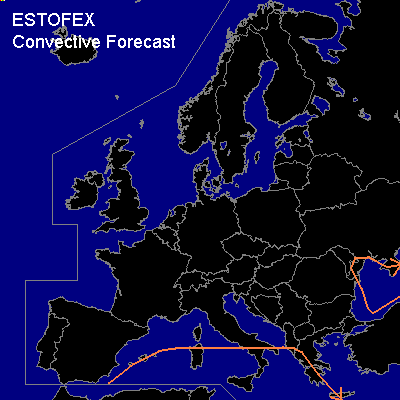
General thunderstorms are forecast across the southern Mediterranean region and parts of the Black Sea and its surroundings.
SYNOPSIS
At the start of the forecast period an upper ridge is present along an axis from the western Iberian Peninsula to Poland. Upper low pressure areas are located near Sicily and over the east-central Balkans. All these systems remain nearly stationary during the forecast period. A strong westerly jet is located over central Scandinavia into northern Russia. An weak embedded trough will amplify somewhat over Finland.
The combination of relatively cold air associated with the upper low-pressure areas and warm sea waters lead to slight latent instability in the areas marked GEN THUNDER. Elsewhere, thunderstorms are not expected.
DISCUSSION
#