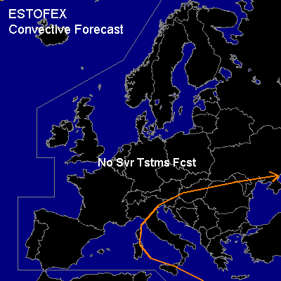
CONVECTIVE FORECAST
VALID 08Z FRI 12/09 - 06Z SAT 13/09 2003
ISSUED: 12/09 08:38Z
FORECASTER: GATZEN
General thunderstorms are forecast across Northeastern central Mediterranean
General thunderstorms are forecast across Black Sea
SYNOPSIS
Lang wave trough placed over eastern parts of Europe. Broad ridge is forming over the northeastern Atlantic and western Europe. Intense vort-max affects the northern Mediterranean. At the surface ... cold front is forecast to reach eastern central Mediterranean.
DISCUSSION
...Northeastern central Mediterranean...
Cold front is crossing Italy today. Airmass ahead of the cold front shows little CIN and up to some 100s J/kg of CAPE (Brindisi), and thunderstorms have formed during the night over southern Adriatic region. Associated short wave trough is expected to remain over northern Mediterranean and the Balkans, and cold air mass is expected to be rather shallow as the front migrates southward. Given low CAPE over eastern central Mediterranean... thunderstorms should be quite shallow today. However ... relatively strong vertical wind shear will probably lead to some cell organization... and strong wind gusts are not ruled out ATTM.
...Black Sea...
Weak upper trough placed over the Black Sea ... and WAA is forecast over southern Black Sea. Soundings over northern Turkey show little CIN and some CAPE today. In the next hours ... convective activity should go on. Weak wind shear and weak synoptic forcing are forecast and severe thunderstorms seems to be not likely ATTM.
#