CONVECTIVE FORECAST - UPDATE
VALID 13Z MON 18/08 - 06Z TUE 19/08 2003
ISSUED: 18/08 13:52Z
FORECASTER: GROENEMEIJER
There is a slight risk of severe thunderstorms forecast across the Alps including Switzerland, parts of Austria, southern Germany, and southeastern France and across northern Italy, Slovenia, western Hungary and parts of the northwestern Balkans.
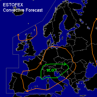
General thunderstorms are forecast across central Europe, the western Iberian Peninsula, southern France, Northern Scotland and parts of western Russia.
SYNOPSIS
An upper low northwest of Scotland moves slowly towards the Norwegian Basin. Monday at 06Z the associated upper trough was located from the central U.K. via central-France to the western-Mediterranean, moving northeast and is expected to arrive near a line from southern Norway to central Germany to Slovenia around midnight. This feature is followed by a shortwave, at 06Z over northwestern Iberia and reaching southern France at 00Z. At lower levels...on monday at 06Z the polar front, separating dry and relatively cool air to its north and moist warm air to its south, was situated over southeastern Poland to northern Germany and slowly lifting northeast as a warmfront. While a minor low over northwestern Germany moves to the western Baltic Sea. A surface trough is extending southeast from this low to eastern Austria at 06Z and expected from central Poland to Hungary at 00Z.
DISCUSSION
...Northern Italy, southern Austria, western Hungary and parts of the northwestern Balkans....
Upward motion ahead of the trough.moving over the area will likely be suffient to initiate more storms to the south of the activity ongoing along the southern Alpine flanks. Most of the the ongoing convection will be multicellular in nature, but given that deep-layer shear is on the order of 40 - 50 kt, and MLCAPE50 is in the range of 2000 -3000 J/kg over much of the MDT risk area, supercells and possibly bow-echoes are the primary convective modes further south. However, there is a concern with repect to the strenghth of the forcing for upward motion over this area: current thinking is convective activity will be rather isolated. The storms that do occur will be capable of producing damaging gusts and large hail. Some hail may exceed 5 cm in diameter. As low-level shear will likely be increasing to 20-25 kt over the southern and eastern parts of the Po Valley, Emilia Romagna and the northern Adriatic region, a tornado may well occur with any supercell storm that forms there. However, given that the coverage of storms will likely be low we refrain from upgrading to moderate risk for this area. The convective activity will spread eastward during the evening affecting the northern adriatic region, southern Austria, western Hungary and parts of the northwestern Balkans.
...northern Alpine region and northern Alpine flanks...
Several multicell clusters are ongoing north and near the Alps mountains. These are assoicated with high amounts of precipitation. Given moderate deep-layer shear (around 30 kt) and moderate instability (MLCAPE near 1000 J/kg), some storms will likely be accompanied by severe gusts and large hail in places.
#