CONVECTIVE FORECAST
VALID 06Z TUE 05/08 - 06Z WED 06/08 2003
ISSUED: 04/08 22:19Z
FORECASTER: HAKLANDER
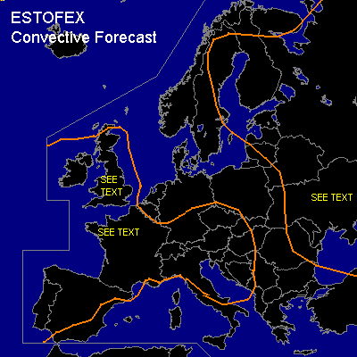
General thunderstorms are forecast across the British Isles, France, much of the Iberian peninsula, Southern Germany, Switzerland, Austria, Northern Italy, the Czech Republic, Western Hungary, Slovenia, Croatia, and Bosnia-Herzegovina.
General thunderstorms are forecast across northern Sweden, Finland, Latvia, Estonia, Belarus, Northwestern Russia, and Ukraine.
SYNOPSIS
Strong, quasi-stationary upper high dominates the flow pattern across much of Western, Southern and Central Europe, while a deepening surface low drifts southeastward from Northern Finland into Western Russia. Along the high's northwestern flank, a shortwave trough travels across the British Isles.
DISCUSSION
...Central and Southern United Kingdom...
According to Monday's GFS 12z run, MUCAPE should reach 1000-1500 J/kg across SW England by 18z Thursday. Over Wales, 28/23°C conditions at 2m should even
yield MUCAPE > 2000 J/kg. GFS has been known to overestimate 2m dew-point temperatures over Western Europe, but given the 22°C already measured on
Monday along the southcoast, 1000-1500 J/kg MUCAPE seems possible.
Ahead of the shortwave trough, a jet streak (25 kts and S'LY at 850 hPa, 30 kts and SW'LY at 700 hPa), is expected to account for more organized
convection over the western half of the UK. Monday's BOLAM 00z, MM5 12z and COAMPS 12z runs confirm the presence of this jet streak, but
only COAMPS generates significant convective precipitation over the area.
Moderate deep layer shear for organized convection is present over central-eastern parts of the UK, where 0-6 km shear should exceed 35 kts.
As surface winds become SE'LY as the shortwave trough approaches...and given the presence of a SSW'LY jet at 700 hPa...SREH might become favorable
for supercell development. If a supercell forms, moderate hail is a possibility and given quite small dew point spreads, a tornado is not ruled out.
However, deep layer shear will probably be too weak for supercells in the moderate CAPE area, leaving multicells as the most likely convective mode.
Current thinking is, that thunderstorms will initiate early in the afternoon over southern and southwestern parts of the UK, as CAPE increases due to
insolation. These storms are expected to become multicellular, and they may produce hail and severe wind gusts. However, latent instability and
deep layer shear do not seem sufficient to warrant a SLGT ATTM.
...Northwestern France...
Monday's GFS 12z run calculates MUCAPE values exceeding 3000 J/kg across the area. However, it should be mentioned that GFS generates too high dew-point temperatures at 2m, even locally exceeding 30°C, which is unrealistic and yields too large CAPE values. Weak vertical shear will be present over the area, so convection will likely be poorly organized. Main threat will probably be severe wind gusts, especially further inland, where the potential for
evaporational cooling of falling precipitation is larger owing to larger dew point spreads. However, large hail is not ruled out, especially in the extreme northwest, where shear will be slightly more favorable for storm organization.
...Finland, Latvia, Estonia, Belarus, Northwestern Russia...
With relatively cold air present at midlevels, thunderstorms initiate owing to daytime heating. Quasi-linear convection is likely triggered by the cold front, associated with the surface low. The main threat will be severe windgusts and since CAPE is expected to remain low over the area, a SLGT risk is not issued.
#