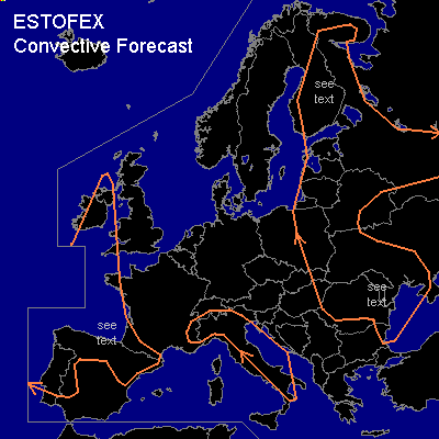
CONVECTIVE FORECAST
VALID 06Z MON 14/07 - 06Z TUE 15/07 2003
ISSUED: 13/07 13:59Z
FORECASTER: GROENEMEIJER
General thunderstorms are forecast across parts of northern and western Iberia, extreme southern and extreme western France, parts of the British Isles
General thunderstorms are forecast across the western Alps and a part of Italy
General thunderstorms are forecast across parts of Romania, Moldova, the Ukraine, eastern Poland, Belarus, the Baltic States, Finland and western Russia.
SYNOPSIS
A high amplitude ridge is forecast to be located over western Europe from western Scandinavia to the western Mediterranean area at the beginning of the period. A building upper high pressure area over central Scandinavia and a slowly eastward moving upper low over the northern Balkans are expected to evolve into a high-over-low blocking pattern. An amplifying trough is forecast over the eastern Atlantic, from which a seperate upper-level low is expected to cut-off, forecast to be situated just northwest of Iberia at the end of the forcast period.
DISCUSSION
...northern Spain, extreme southwestern France...
Some isolated storms may form monday afternoon over the Spanish highlands and near mountain ranges in response to strong solar heating over the area. A dry well-mixed boundary layer below 650 hPa will allow for strong envaporational cooling in downdrafts, so that a few strong (but generally non-severe) gusts will be possible. The approach of the upper system is expected to affect in the area after the forecast period.
...central, southern and eastern Finland and central and southern Karelia....
Advection of a moist and warm air-mass from the east and further moistening/heating of low levels by sun during the long high-latitude days will lead to some latent instability. They GFS (1300) MLCAPE30 estimation of 1500-2500 J/kg seems to be high, since the forecast surface dewpoints for today of 20-22 C over eastern Finland seem to be rather near 16-18 C in reality per sfc obs. Surface temperatures of 22 C are however likely underestmated by around 4 degrees or so. Adjusting the GFS forecast profiles yields MLCAPE50 of a few 100s of J/kg. This low latent instability in combination with weak shear profiles will yield a very limited severe threat only.
...eastern and northern Romania, western Ukraine, Moldova and eastern Bulgaria....
The upper-low over the northern Balkans will move eastward. Strong synoptic upward motion ahead of the center of the low over a slightly lantely unstable atmosphere is expected to lead to a large MCS over the area, capable of producing very large precipitation amounts. QPFs from MM5 (1306) GFS (1306) models suggest parts of the northern/northeastern flanks of the Karpates mountains will locally have 50 - 100 mm of precipitation in the forecast period.
#